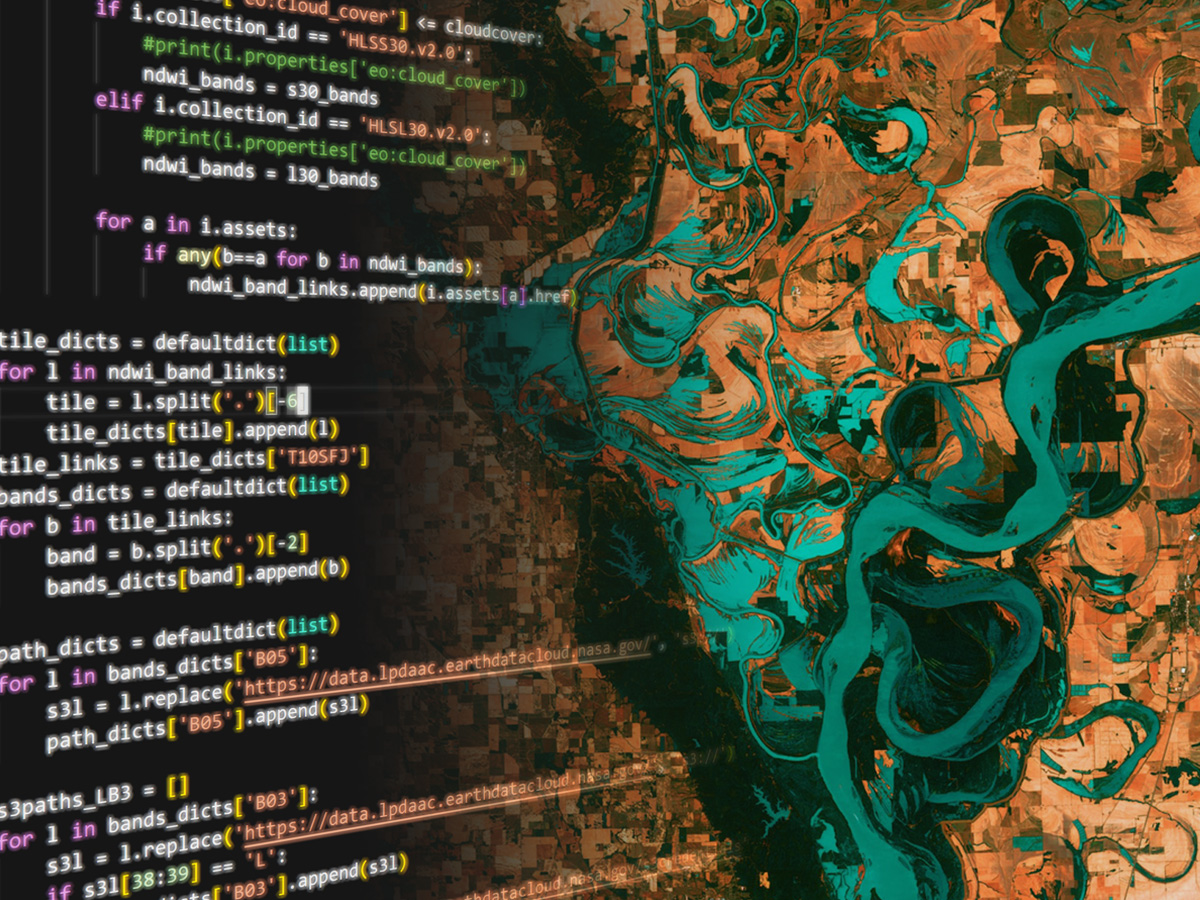
Using NASA Earthdata Cloud data to assess the risk of wildfire, drought, and flood.
Under joint development by
```{card}
:header: [MetaDocencia](https://www.metadocencia.org/)

as a ScienceCore module for NASA Transform to Open Science Training or “TOPST”, Research Opportunities in Space and Earth Science [(ROSES) solicitation F.14](https://nspires.nasaprs.com/external/viewrepositorydocument/cmdocumentid=860824/solicitationId=%7BAB776446-03A8-4C24-845D-2E5A2ADA2D5A%7D/viewSolicitationDocument=1/F.14_TOPST_Amend46.pdf).

```{seealso} TOPS-T ScienceCore: climaterisk
See the original [MyST site](https://sciencecore.github.io/climaterisk/) and [GitHub repository](https://github.com/ScienceCore/climaterisk) for more information.